In an effort to promote transparency and effective monitoring, the Philippine Council for Agriculture and Fisheries (PCAF) integrated geotagging on its monitoring and evaluation of programs and projects.
In line with this, an area-wide training-workshop on participatory monitoring and tracking system through on-site validation and geotagging was conducted for PCAF Monitoring and Evaluation Section staff and representatives from the regional and provincial monitoring teams of Agricultural and Fishery Council.
This initiative aimed to capacitate the monitoring team on Global Positioning System (GPS)-based data acquisition, organization and harmonization of geotagging initiatives for data processing, sharing and dissemination, and to assist in organizing and management of geotagged datasets.
GPS is a satellite navigation system that furnishes location and time information in all climate conditions to the user. It gives critical abilities to users around the globe and provides continuous real time, 3-dimensional positioning, navigation and timing worldwide (http://www.elprocus.com/how-gps-system-works/).
EE Times Online explained that GPS tracking system may be placed on a cell phone or on special GPS devices which can either be a fixed or portable unit. For example, it can be used by an organization to monitor the route and progress of a delivery truck to monitor the high-valued assets in transit.
Furthermore, the said activity is in line with PCAF’s monitoring and tracking functions in the validation of accomplishment reports on farm-to-market road programs and other priority projects of Department of Agriculture (DA) and other implementing agencies.
Participants were able to transform their learnings on the techniques and processes of geotagging. The GPS-based datasets and applications are valuable tools for studying, understanding and managing resources and interventions.
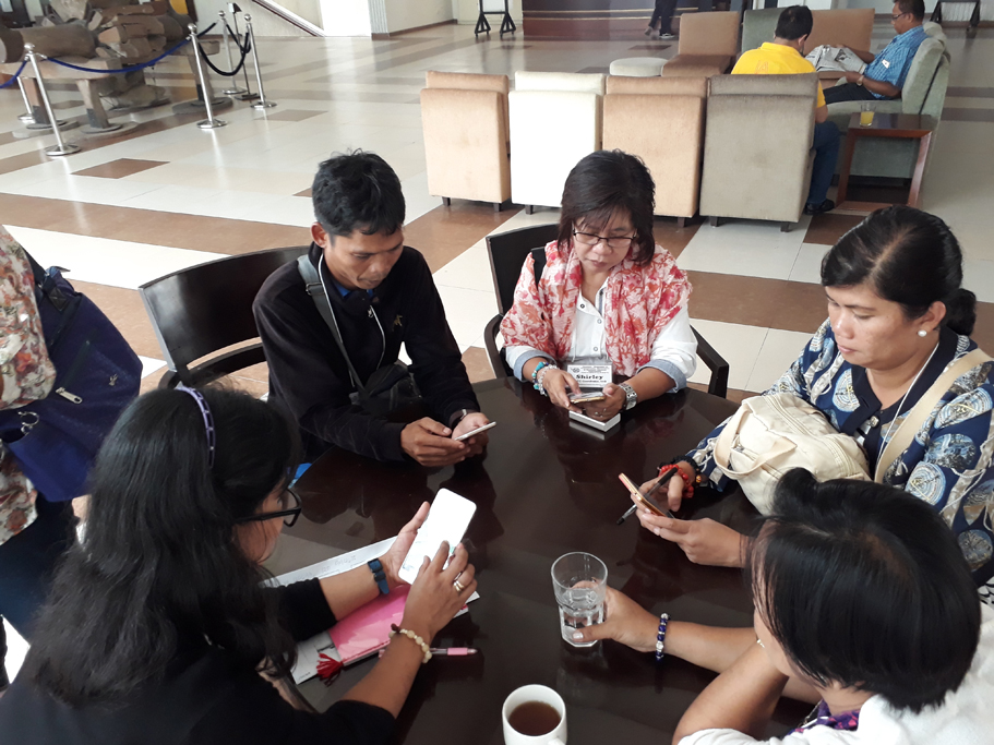
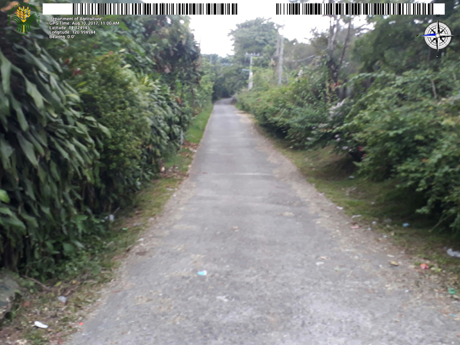
Highlight of the event includes testing of geotagging techniques using cellular phones. Field application on GPS Navigation and GPS Data Acquisition were performed by the participants. The activity was facilitated by the DA- Information, Communication and Technology Service (ICTS).
The attendees were grouped into clusters and the training was held simultaneously in five areas nationwide. Mindanao A cluster comprised the monitoring teams from Regions XI, XII and Autonomous Regions for Muslim Mindanao. The training was held on July 25-28, 2017 at JC Leisure Place, Kidapawan City, North Cotabato.
On August 1-4, separate training was conducted for Mindanao B cluster which included Regions IX, X and XIII at De Luxe Hotel, Cagayan de Oro City and for Visayas cluster which consisted Regions VI, VII and VIII at Alpa Hotel Suites, Mandaue City, Cebu.
For Luzon A and B clusters, the workshop was held on August 8-11, at Chalet Hotel, Baguio City and Development Academy of the Philippines Tagaytay City, respectively. Regions I, II, III and CAR composed the Luzon A cluster while Regions IV-A, IV-B and V constituted the Luzon B cluster.
Speakers, mostly from DA-ICTS and Bureau of Fisheries and Aquatic Resources facilitated the event. Basic information and the general overview of geotagging were introduced to the participants. Topics included demonstration of geotagging, setup/installation of techniques, familiarization of the process and trial/testing of devices and applications.
In one of his lectures, Wecky Malla of DA-ICTS said that geotagging has the potential to provide important snapshots of what is on the ground that are valuable for project planning, implementation and monitoring.
According to the online article posted in www.worldbank.org on February 19, 2013, the DA’s innovative use of geotagging for project management is the first among government agencies in the Philippines, and among the pioneers in the region.
Similarly, this activity could support the DA’s 1st basic foundations of a sound agriculture and fisheries program in developing a National Color-Coded Agricultural Guide (NCCAG) Map.
As stated in DA’s website, the color-coded map identifies areas where crops could be ideally grown based on soil types, climatic conditions and bio-physical requirements.
On other hand, the geotagging process involves attaching location-specific information such as geographical coordinates to pictures, videos and even SMS messages.
Through this, available geotagged data can be useful in mapping out relevant information for the creation of NCCAG map. – JD
